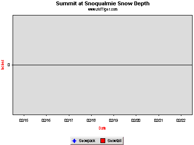
Summit at Snoqualmie
| |||||||||||||||||||||

Home SkiReport SnowCAMs WeatherPics WeatherForecast WeatherStations ContactUs


Copyright © 2000-2018 by skiTiger.com Disclaimer

| |||||||||||||||||||||
♦ Mobile Ski/Snow Report
Forecasts, Cams, Radar, Snow Phones,
On Your Mobile Web/ Cell Phone/ iPhone/ PDA, Go To:
skiTiger.com/mobile
—————————————
♦ New Google Maps and Google Earth Maps
Google Map/Google Earth
—————————————
♦ Best Ski Report RSS Feed

—————————————